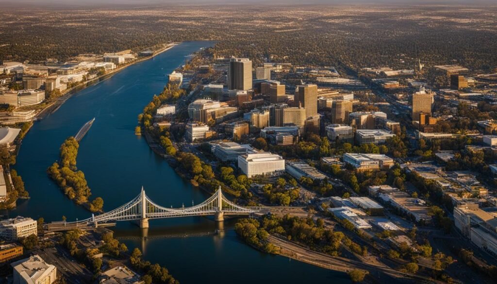
Sacramento is the capital of California, sitting in the Sacramento Valley at the confluence of the Sacramento and American Rivers, about 90 miles northeast of San Francisco and 380 miles north of Los Angeles. Its coordinates are roughly 38.58°N, 121.49°W.
Why It’s Where It Is
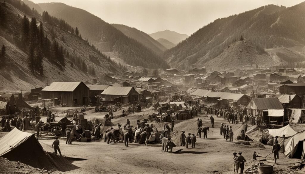
Sacramento became the state capital in 1854, early in the Gold Rush, because it was the supply point on the river for the foothill camps and sat centrally between the growing north and south. It is still the political center, with the California State Capitol and most state agencies downtown. The geography is flat valley floor, hot dry summers and cool wet winters, with the Sierra Nevada rising an hour or two east.
Neighborhoods and Attractions
- Old Sacramento — the preserved Gold Rush riverfront district with wooden boardwalks and the railroad museum.
- California State Railroad Museum — restored locomotives and cars; a strong stop.
- Crocker Art Museum — one of the older art museums in the West.
- American River Parkway — a 32-mile trail along the river for biking and running.
- Sacramento Zoo — modest city zoo in Land Park.

Getting There and Around
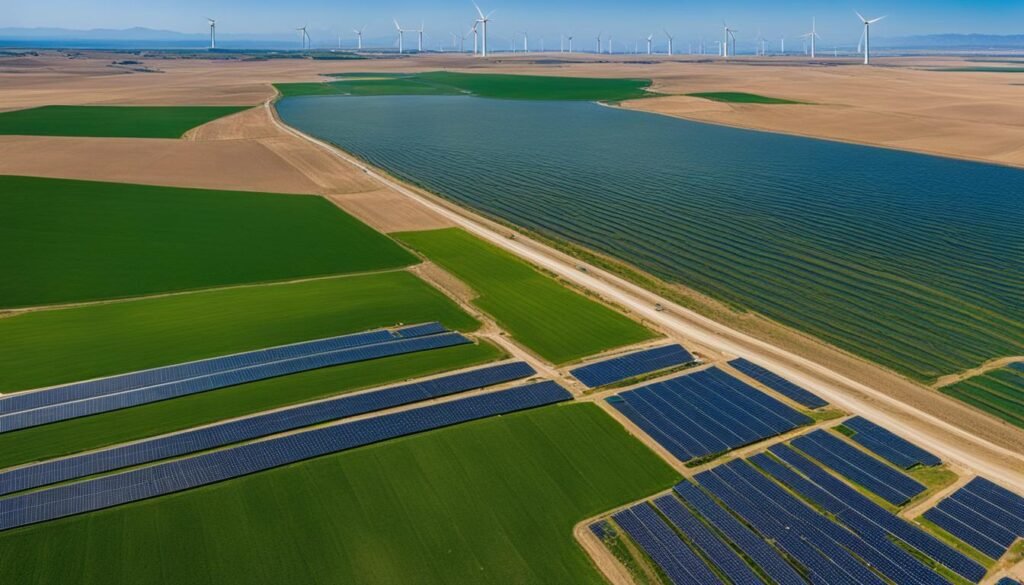
Sacramento International Airport (SMF) handles domestic flights. By car, I-5 runs north–south through the city and I-80 branches east to Reno and the Sierras. Regional transit is bus plus a light-rail line, but the region is built for driving. The surrounding valley is the state’s farm belt — rice, almonds, tomatoes — and the gateway to Gold Country and Lake Tahoe to the east.
Conclusion
Sacramento is a practical capital city rather than a tourist draw, but it works as a stopover or a base: see Old Sacramento and the railroad museum, walk the river parkway, and use it as the jump-off for Tahoe, Gold Country, or wine in the nearby foothills. If you are passing through, time a visit to the Capitol or the Crocker; if you are basing here, rent a car — the interesting terrain (Sierras, Delta, valley farms) is all a drive away, and summer heat limits midday walking.