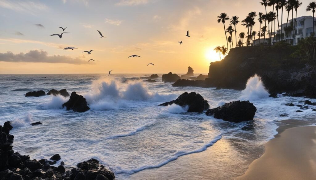
The Bay Area has a lot of nature packed into a compact region, redwood preserves, coastal seashore, marshes, and ridge parks, most of them within an hour of downtown San Francisco. The list below is the real, visit-able spots, with what each is actually good for, so you can match the place to the kind of walk you want.
Don Edwards San Francisco Bay National Wildlife Reserve
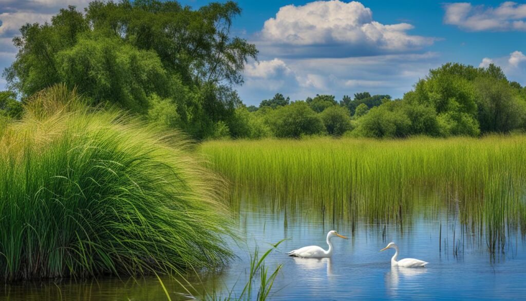
In Fremont on the south bay, one of the largest urban wildlife refuges in the country and a key stop on the Pacific Flyway. Flat trails and observation decks over the marsh; the place for birdwatching (waterfowl, shorebirds, and the endangered ridgeway’s rail) and an easy flat walk. Fishing is allowed in designated spots; hunting in season. One of the few places on this list that is genuinely flat and stroller-friendly.
Sibley Volcanic Regional Preserve
In the Oakland hills, the eroded remains of an ancient volcano, with Round Top as the high point and a labyrinth of trails (dog-friendly on leash). Short interpretive loops explain the volcanic history; longer routes connect to the broader East Bay ridge trail system. Good for a quick hill walk with bay views.
Purisima Creek Redwoods Open Space Preserve
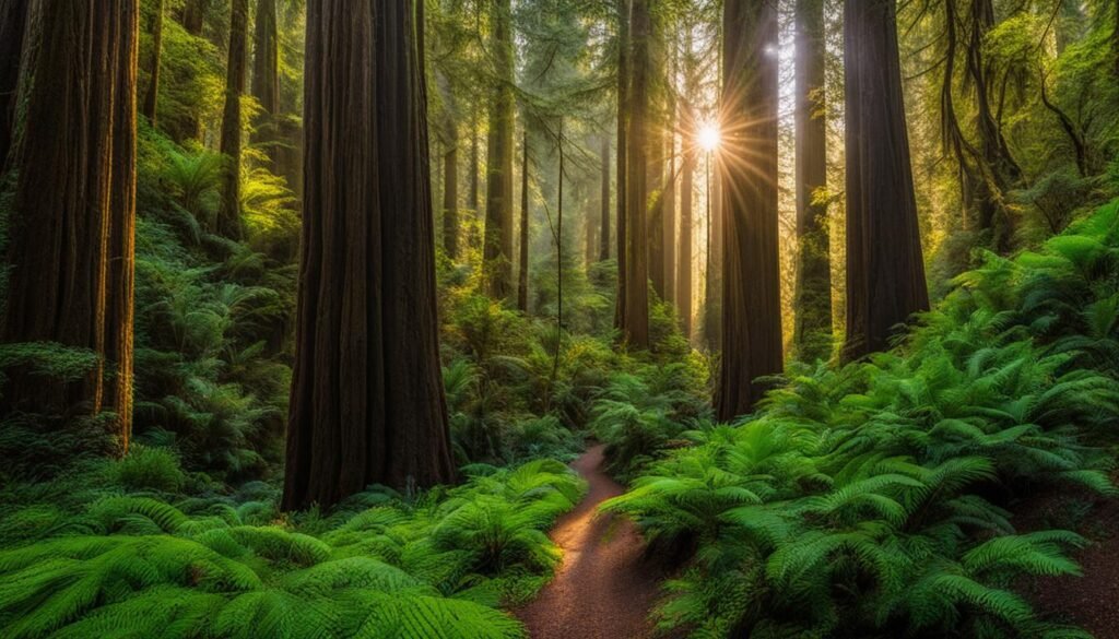
On the Skyline Ridge above Half Moon Bay, old-growth coast redwoods in a cool, damp canyon. The loop (Purisima Creek to the ridge) is a proper workout with shade the whole way; watch for banana slugs on the trail. Equestrian-friendly. A reliable redwood fix on the coast side.
Point Reyes National Seashore
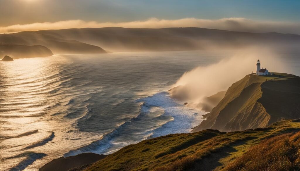
North of the city in Marin, a finger of coast with cliffs, beaches, and the Point Reyes Lighthouse at the tip. Gray whales pass in winter (best from the headlands); elk roam the peninsula. Tomales Bay is the oyster side. It is a half-day to full-day trip; the drive in is slow but scenic. Reserve the hostel or campground early if you want to stay.
Little Yosemite (Sunol)
In Sunol Regional Wilderness southeast of the bay, a gorge on the Alameda Creek trail with swimming holes (water levels vary). A moderate hike in; the “Little Yosemite” name is local, not the national park. Good for a summer dip if there is water.

Mt. Tamalpais and Lakeview Fire Road
Mt. Tam, west of Mill Valley, is the ridge above the whole bay with the Dipsea and Matt Davis trails and the West Point Inn. Lakeview Fire Road is a 7-mile loop near Lake Lagunitas (in the Marin Water District lands) with big views of the mountain and the lakes; a solid, exposed climb, so go early and bring water. Check the district’s trail map, since some segments need a parking pass.


Old St. Hillary’s Open Space Preserve
In Tiburon, a short loop to a preserved 1888 church and Picnic Rock, with views over the bay and, on a clear day, the three bridges. The easy, quick walk of the set; good with kids or as a stop before the Tiburon ferry.
Anthony Chabot Regional Park
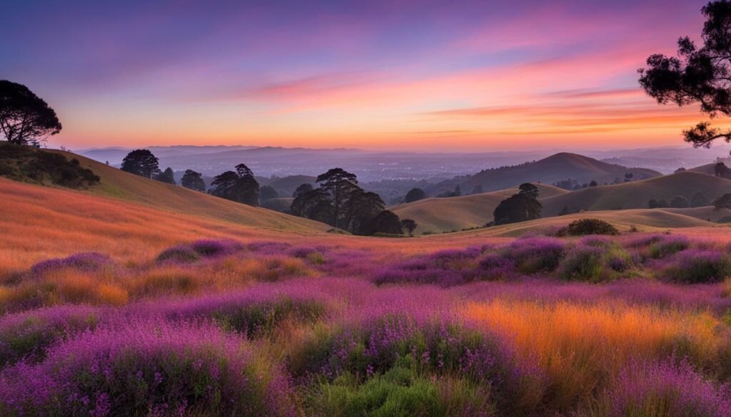
In the Oakland hills, the Red Tail to Columbine loop (about 8 miles) overlooks Lake Chabot and the San Leandro Reservoir; dog-friendly and horse-friendly trails too. The East Bay’s bigger hiking option, connected to the Skyline trails.
Planning notes
- Redwoods vs ridge. Purisima and the preserves are cool and shaded; Mt. Tam and Chabot are exposed, carry water.
- Pass. EBRPD parks need a $ per-vehicle or regional pass at most lots; the Water District lands around Lake Lagunitas have their own.
- Fog. The coast (Point Reyes, Purisima) is foggy most mornings; inland ridges clear first.
- Trailheads. Use AllTrails or the park district maps; several of these connect into longer ridge systems than the loop described.
Final Thoughts
The Bay Area’s nature is a menu, not a single destination, so pick by what you want: flat birdwatching at Don Edwards, redwoods at Purisima, a big ridge hike at Mt. Tam or Chabot, or a half-day at Point Reyes. Get the right pass for the lot, go early on the exposed trails in summer, and expect fog on the coast. The spots above are all real and managed by the Park District, the Water District, the Preserves, or the NPS, so check each one’s current trail and parking status before you head out.