California’s Highway 1, popularly called the Pacific Coast Highway or PCH, is the coastal route from the redwoods near Leggett in the north down to the Orange County coast in the south, about 655 miles of mostly two-lane road along the edge of the state. The most famous stretch is Big Sur, where the road clings to cliffs between Monterey and San Luis Obispo. The full U.S. West Coast route, continuing through Oregon and Washington to Olympia, is longer (roughly 1,675 miles), but the “PCH” name properly belongs to the California highway.
How long, and which direction
- California Highway 1: about 655 miles, Leggett to Dana Point.
- Full West Coast route: about 1,675 miles, Olympia, WA to San Diego, CA, if you include Oregon and Washington’s coastal highways.
Most people drive the California section southbound (north to south) so the ocean and the cliff-edge views are on the passenger side, easier to pull over for. You can start anywhere, San Francisco and San Diego being the common city anchors, and the trip works as a multi-day drive or a single scenic day between two towns.

Itineraries
- 5 days (highlights): San Francisco to Los Angeles via Santa Cruz, Monterey, and Big Sur, the standard first-time run.
- 7 days: add Santa Barbara, San Luis Obispo, and Pismo Beach, with a full day in Big Sur.
- 10+ days: start in the Pacific Northwest (Seattle or Portland) and drive the whole coast down to San Diego, spending extra time in Mendocino, the Bay Area, and the Central Coast.
Big Sur is the bottleneck: it is slow, has few services, and closes for days or weeks after landslides, so build slack into any plan that depends on it.
Best stops in California
- Big Sur: Bixby Bridge and Julia Pfeiffer Burns State Park (McWay Falls, which drops onto the beach).
- Hearst Castle: the hilltop estate at San Simeon, open for guided tours.
- Monterey Bay Aquarium and Cannery Row.
- Santa Barbara: beaches, the mission, and State Street.
- Golden Gate Bridge, best viewed from the Marin headlands or a bike across the bridge.
- Leggett’s Drive-Through Tree (Chandelier Tree): a redwood you can drive through, near the northern end of Highway 1.

Best views
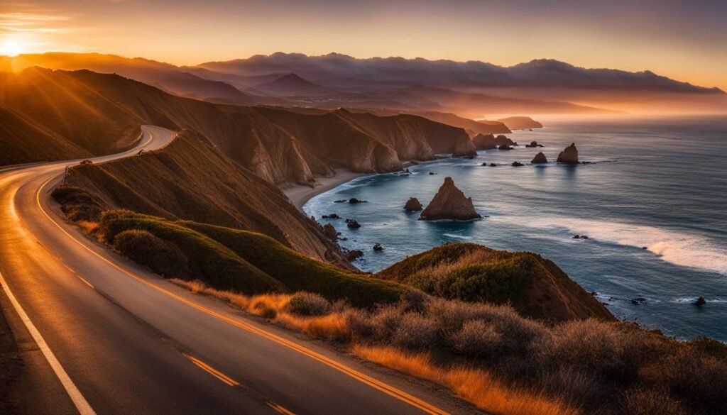
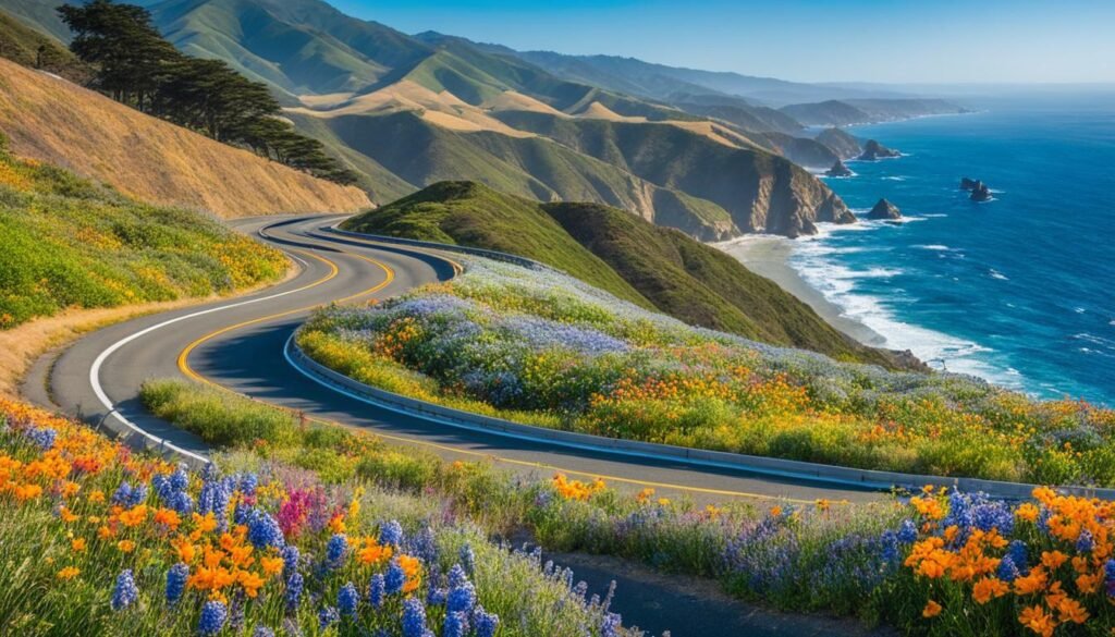
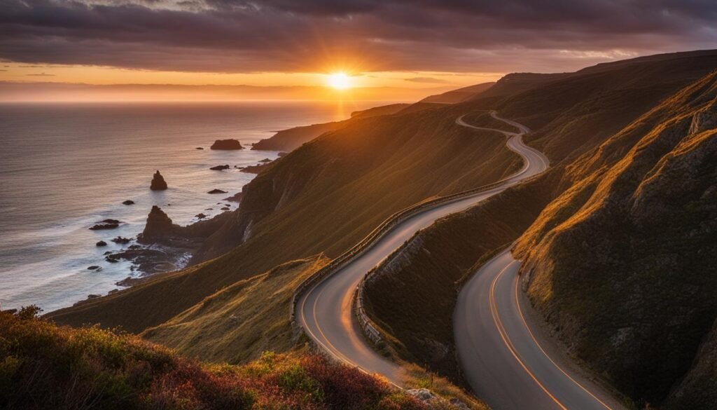
The reliable overlooks are Point Dume and Point Mugu in the south, the Big Sur cliffs and Bixby Bridge in the middle, and the Marin headlands for the Golden Gate. McWay Falls is the one waterfall that lands on the sand. Pullouts fill on weekends, so early starts get you the parking and the light.
Where to stay and eat
Lodging ranges from the whimsical Madonna Inn in San Luis Obispo to boutique hotels in San Francisco and motels in the small coastal towns. Seafood is the through-line, clam chowder in the Bay Area, fish tacos in San Diego, crab on the Central Coast. Book Big Sur and Monterey well ahead in summer; the room stock is limited and prices rise.

Oregon and Washington
If you extend past California, the route continues as U.S. 101 in Oregon (Cannon Beach and Haystack Rock) and Washington (Olympic National Park and the coast south of Seattle). The scenery stays coastal but the road is different, and services are sparser in Washington.
Takeaway
Highway 1 is the California coastal drive; the PCH name does not extend up the Oregon and Washington coasts, though the West Coast route does. Drive it southbound for the views, give Big Sur a full day (and a weather buffer), and book the limited lodging early. The payoff is the cliff-and-ocean stretch between Monterey and San Luis Obispo, which is the part worth the trip.