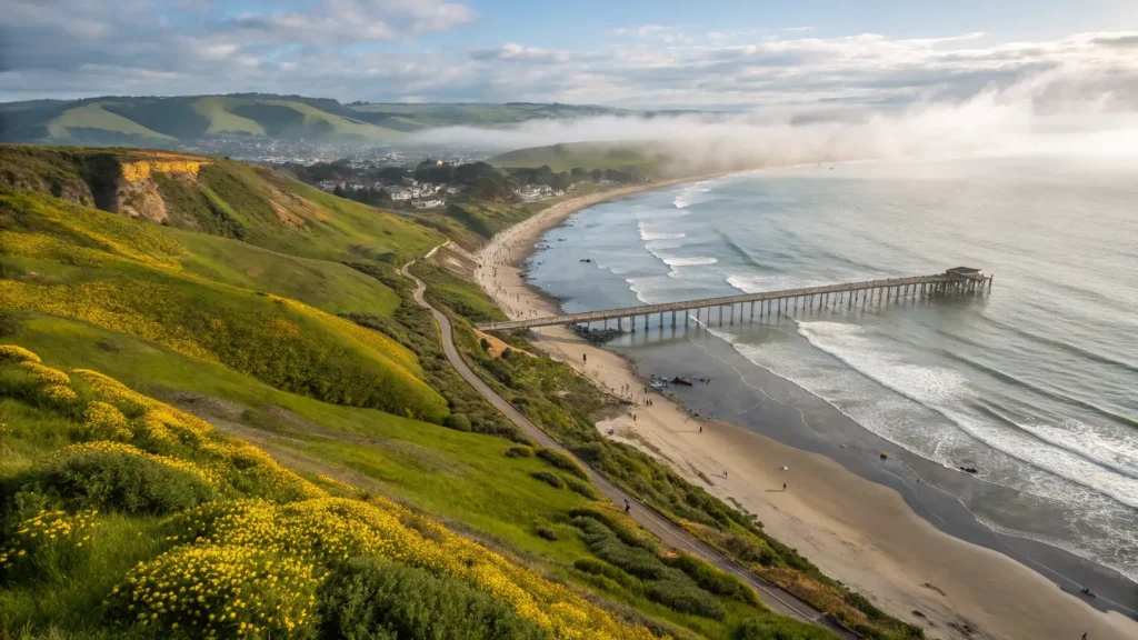
The best California road trips all share one problem: there are too many of them. I’ve lived here long enough to have made most of the classic drives at least twice, and the question I get from visiting friends is never “should I do a road trip in California?” It’s “which one, and how do I not waste my week?” Fair question. This state packs coastal cliffs, giant sequoias, proper desert, alpine passes and wine country into a single set of borders, and you genuinely cannot do it all in one go. So this is my attempt at an honest sort-through — which drives earn the hype, which ones don’t, and what actually matters when you’re planning.
Why California Suits Road Trips Better Than Almost Anywhere
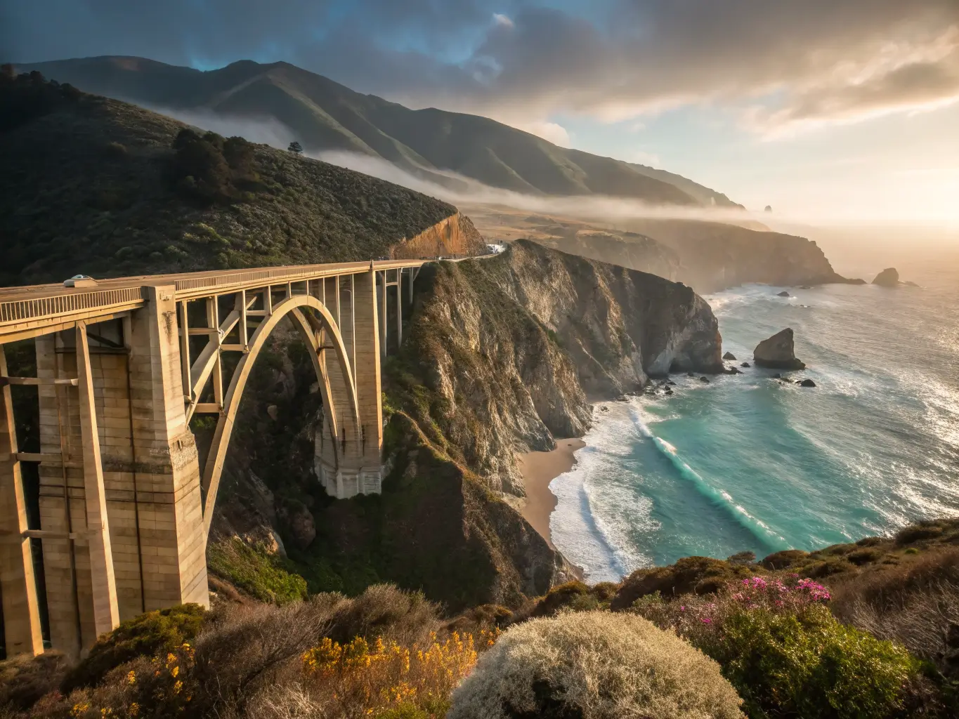
The short answer is geographic diversity. You can leave a foggy beach in the morning and be standing under trees the size of office blocks by lunch. Drive another few hours and you’re in high desert. No other American state offers that range within a normal holiday’s driving distance, which is why routes like Big Sur regularly turn up on lists of the world’s great drives.
The other advantage is that California works year-round if you match the region to the season. The coast is drivable in any month, though summer fog on the Central Coast surprises people expecting endless sunshine. The Sierra and its national parks are best from late spring through autumn — snow closes high roads for months, and the Kings Canyon Scenic Byway didn’t reopen for the season until June in 2024. Deserts flip the logic entirely: go in autumn, winter or early spring, and avoid July unless you enjoy 45°C.
A few planning basics worth settling before anything else:
- Trip length. Weekend trips (2–3 days) suit one region. A week covers a coastal run or a parks loop properly. Two weeks gets you a genuine grand tour.
- Vehicle. A rental car is fine for nearly everything here. Campervans are lovely for the Eastern Sierra and the north coast, less lovely for parking in Carmel. If you’re in an EV, plan charging carefully in the mountains and deserts — the corridors are improving but the gaps are real.
- Reservations. National parks and popular coastal towns increasingly require booking ahead, sometimes months ahead in summer. More on that later.
Big Sur and the Central Coast
If you only do one drive, do this one. Highway 1 between Monterey and San Simeon is roughly 90 miles of road that took decades to build and still occasionally falls into the sea, and it deserves every bit of its reputation. Give it two to four days. People try to do it as a single-day dash between San Francisco and LA, and honestly, that’s the one mistake I’d talk you out of hardest. You’ll spend the whole day looking for parking at viewpoints and arrive stressed.
The famous stops are famous for good reason. Bixby Creek Bridge is the photo everyone wants, Point Lobos is arguably the best short coastal walking in the state, and McWay Falls in Julia Pfeiffer Burns State Park drops straight onto a beach you can’t reach, which somehow makes it better. Pfeiffer Big Sur State Park gives you redwoods a few minutes from the ocean. Pfeiffer Beach — purple sand, keyhole rock — is worth the rough access road, though the day-use fee stings a bit.
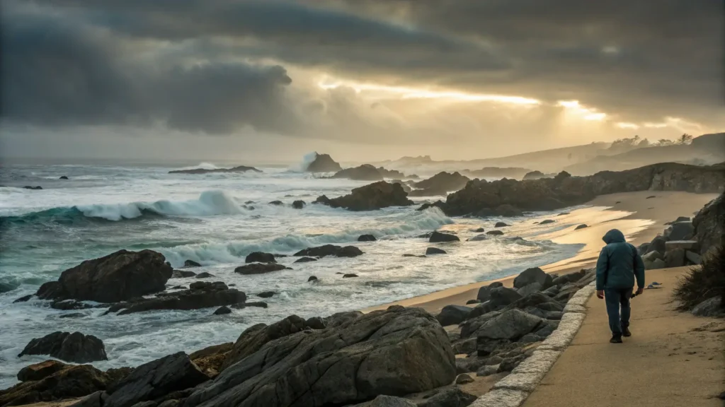
My own habit is to stop at Garrapata rather than fight for space at the bigger names. Last March I pulled in there around 8am on a Tuesday, grey and drizzly, expecting nothing much, and had the bluff trail entirely to myself apart from a man walking two very wet dogs. I’d forgotten a rain jacket and got soaked through in twenty minutes. Still one of my favourite mornings on that coast, and it cost nothing but the petrol.
Two practical warnings. First, check Caltrans road conditions before you go — landslides close sections of Highway 1 with depressing regularity, and a closure can force a very long detour. Second, cell service through Big Sur is patchy to non-existent, so download maps and book your lodging in advance. Accommodation ranges from campsites to eye-wateringly expensive inns perched over the water, and the middle ground sells out early.
The Full Pacific Coast Highway Run
For the ambitious, there’s the whole coast: San Diego up through Orange County, LA, Malibu, Santa Barbara, Pismo Beach and San Luis Obispo, then Big Sur, Monterey, Santa Cruz, San Francisco, and — if you’ve the time — onward to Point Reyes and Mendocino. Allow 7–14 days for it to feel like a holiday rather than an endurance event.
The southern stretch gets dismissed by some travel writers as just traffic and suburbs, and I half agree. Getting through greater Los Angeles is genuinely tedious, and I’d take the freeway through the worst of it rather than crawl along the coast road for the principle of the thing. But the SoCal surf towns have real charm, the views towards the Channel Islands near Ventura are underrated, and Santa Barbara through San Luis Obispo county is quietly one of the best eating-and-drinking corridors in America. Then Big Sur, as above. Then the north, which changes character completely.
The honest trade-off: continuous ocean views and iconic stops, against heavy traffic near the cities and painful lodging costs in peak summer. Shoulder season — May, September, October — solves most of that.
The North Coast and the Redwoods
This is the drive I recommend to people who’ve already done Big Sur, or who want the coast without the crowds. San Francisco to Point Reyes, up through Bodega Bay to Mendocino and Fort Bragg, then inland to Humboldt Redwoods and finally Redwood National and State Parks near the Oregon border. It’s wilder, foggier, cheaper and far quieter than the Central Coast, with sea stacks and empty beaches that feel almost Scottish.
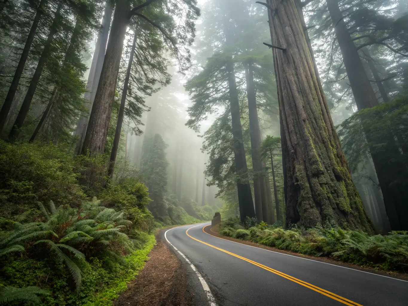
The centrepiece is the Avenue of the Giants, a 30-odd-mile old highway threading through coast redwoods that make you drive at walking pace just to take them in. Add kayaking on the Mendocino coast, tidepooling, and grey whale watching in winter and spring. This is a trip of small inns and coastal villages rather than resorts, and it rewards a slow pace. Don’t expect nightlife. Do expect the best trees on Earth — well, nearly.
Sequoia and Kings Canyon by Road
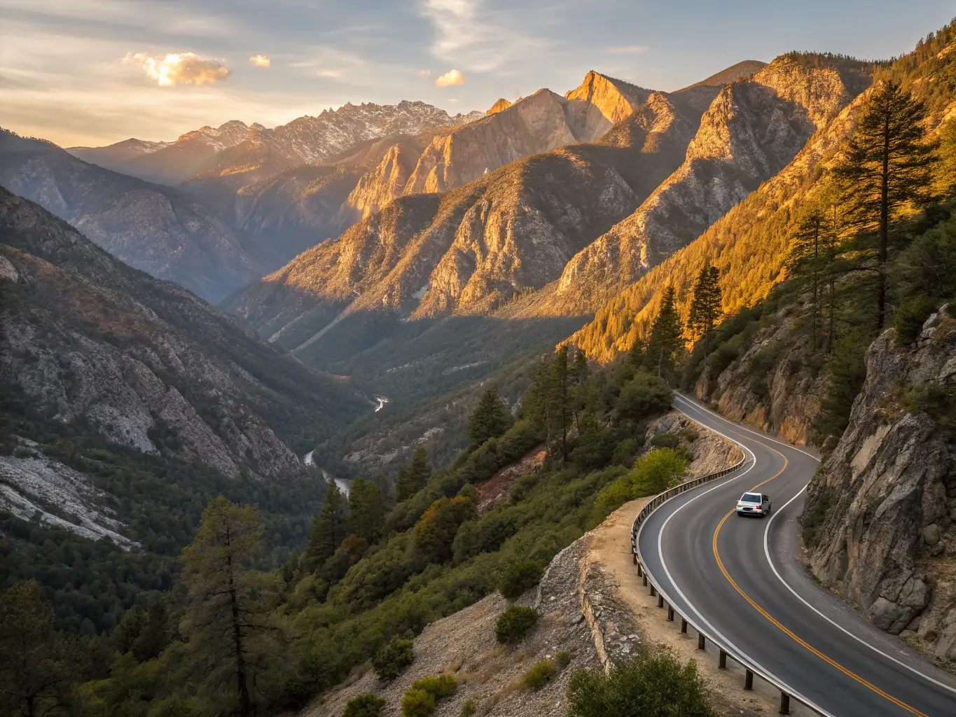
For the actual biggest trees, you head inland to Sequoia and Kings Canyon. The signature drive here is the Kings Canyon Scenic Byway, Highway 180 dropping roughly 50 miles into Cedar Grove — a route that reopened in June 2024 and is, mile for mile, as dramatic as anything on the coast. Waterfalls, granite walls, canyon overlooks above the Kings River, and a road that plunges from sequoia groves down into one of the deepest canyons in North America.
Start at Grant Grove and pay your respects to the General Grant Tree, the second largest tree in the world by trunk volume at 46,608 cubic feet. Numbers don’t really prepare you for standing next to it. Further south in Sequoia proper, the Crescent Meadow Loop is an easy 1.3-mile walk through wildflower meadows ringed by giants, and it’s the stop I’d prioritise over the busier boardwalks. Serious hikers should know the High Sierra Trail starts near here too — nearly 70 miles one way across the range to Whitney Portal, if a day walk isn’t enough.
Timing matters more here than almost anywhere else in the state. Come late spring through autumn, once the snow has cleared and the byway is fully open, and fuel up before you enter the parks because services inside are sparse and the grades are steep. SEKI pairs naturally with Yosemite to the north, which brings me to the obvious next question of how to link them.
Further Reading
For more itineraries and practical tips on California road trips, consult the linked guides and plan according to season and vehicle.
Yosemite and the Sierra Towns
Yosemite needs no selling, but it does need routing. Three main roads get you in: Highway 41 from Fresno, Highway 140 from Merced, and Highway 120 over Big Oak Flat — which continues, in summer only, as Tioga Road across the top of the park. If Tioga Pass is open when you visit, drive it. The alpine lakes and meadows up there are a different Yosemite entirely from the valley floor, and most visitors never see them.
The valley itself — El Capitan, Half Dome, the classic tunnel view — is spectacular and busy in roughly equal measure. My advice is to base yourself in one of the Gold Country towns like Mariposa or Sonora rather than fighting for in-park lodging, and treat the drive in as part of the day rather than an obstacle. Those towns have proper history, decent food, and rooms you can actually book less than six months out.
The Eastern Sierra: The Drive Californians Keep to Themselves
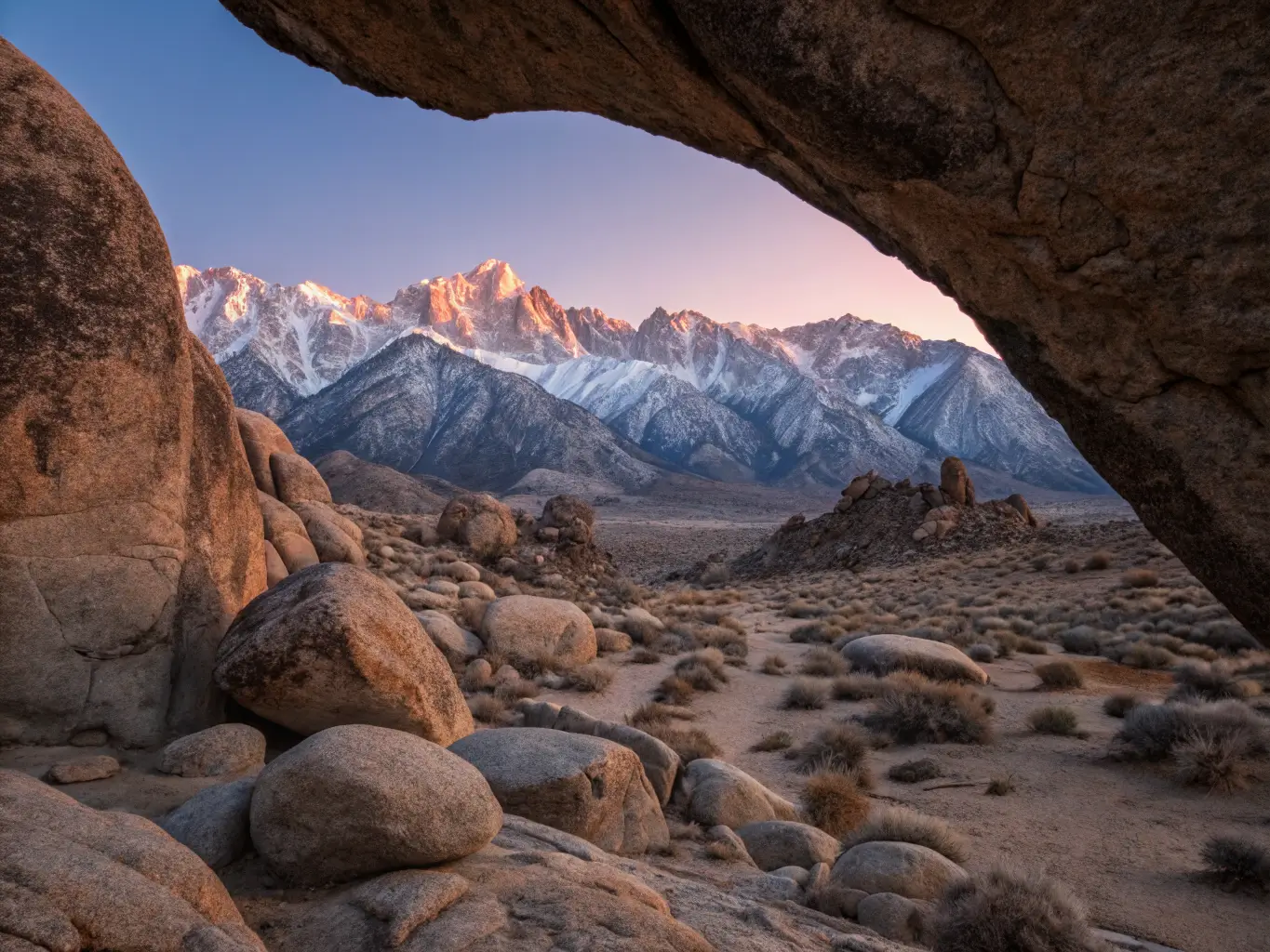
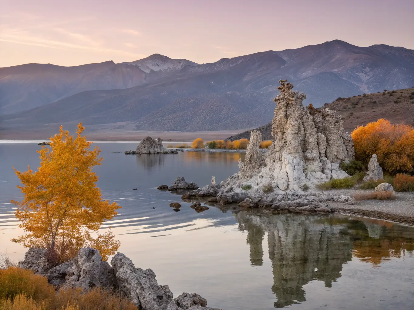
Highway 395 up the east side of the range is, for my money, the most underrated road in the state. Lone Pine to the Alabama Hills, where half of Hollywood’s Westerns were filmed, then north through Bishop to Mammoth Lakes, the June Lake Loop, and Mono Lake with its strange tufa towers. The Sierra escarpment rises two miles straight off the valley floor on your left the entire way, and it never stops being startling.
This is the trip for hot springs, alpine lakes, climbing, and — in October — the best fall colour California produces, gold aspens running up every creek canyon. It’s also the natural link between the desert trips below and the national parks above, which is why it anchors most of my longer itineraries.
Joshua Tree, Palm Springs and the High Desert
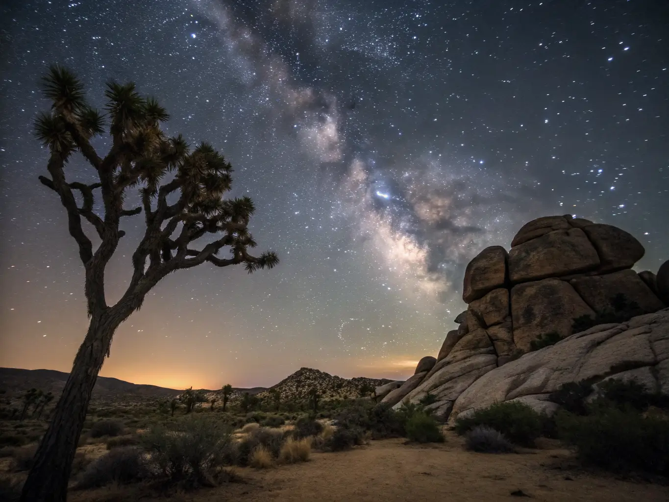
The classic desert weekend from LA: Palm Springs for mid-century architecture and a pool, then up into Joshua Tree National Park for the trees themselves, the stacked boulder formations, and night skies dark enough to make city dwellers audibly gasp. Loop out through Yucca Valley and Pioneertown — a 1940s film set that grew into an actual town — and you’ve a proper contrast trip in three days. Go between October and April. I once agreed to a July trip against my better judgement, and we abandoned a two-mile walk after twenty minutes when the water in my bottle went warm enough to steep tea. Lesson permanently learned.
Mojave and Death Valley
For the bigger, emptier desert, drive from LA or Las Vegas through the Mojave National Preserve into Death Valley. Sand dunes, salt flats below sea level, badlands in improbable colours, and stargazing that beats anywhere else in the state. This is the least forgiving route in the article — carry water, fuel up at every opportunity, and take the winter-and-shoulder-season advice as an instruction rather than a suggestion.
The San Diego Coast
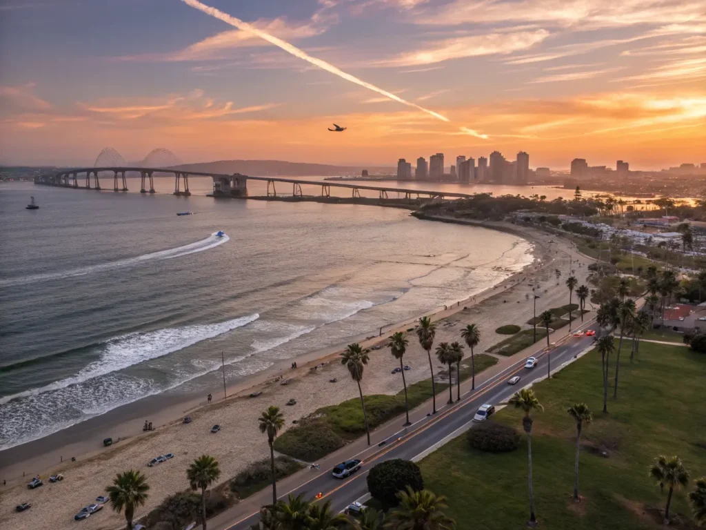
At the gentler end, San Diego’s coastal loop makes an easy long weekend: La Jolla’s coves and sea lions, Coronado, the surf towns of Encinitas and Oceanside, historic missions, and some of the most reliable beach weather in the state. It won’t give you Big Sur drama, but it’s the trip I’d suggest for families or anyone who wants their driving in small doses between long lunches.
Wine Country and the Eating Routes
Napa and Sonoma from San Francisco is the obvious food-and-wine circuit — Sonoma to Healdsburg to Calistoga to Napa, vineyard stays and farm-to-table everything. It’s polished and expensive and delivers exactly what it promises. My honest preference these days is the Central Coast version: Paso Robles, San Luis Obispo, the Santa Ynez Valley and Santa Barbara county, where the wineries are smaller, the tastings cheaper, and you can fold the whole thing into a coastal drive past Pismo Beach. There’s also a purely urban version of the coast run — San Diego, LA, Santa Barbara, San Francisco — for people who want museums and food scenes more than trailheads, and it’s a perfectly legitimate way to see the state.
Short Getaway or Grand Tour?
Most people are choosing between a long weekend and a proper fortnight, so here’s how I’d slice it:
Suggested trip lengths
- 3–4 days: Big Sur from San Francisco or LA; SEKI from Fresno; Joshua Tree and Palm Springs from LA; or Napa/Sonoma from San Francisco.
- 7 days: the full coast from San Diego to San Francisco, done at a humane pace, or a Sierra parks loop.
- 10–14 days: the grand tour — San Diego up the PCH through LA and Big Sur to San Francisco, out to Napa or Sonoma, then across to the Eastern Sierra and back through Yosemite or SEKI.
Short trips are easier to plan and cheaper, but you’ll only genuinely know one region. The grand tour is comprehensive and unforgettable, but it demands more budget, more logistics, and a tolerance for repacking your bag every second night.
The Practical Stuff That Actually Matters
Check road conditions obsessively. Highway 1 closes from landslides, mountain roads close from snow, and Caltrans’ website should be open on your phone the night before every driving day. In summer, wildfire smoke can close Sierra routes or make them miserable, so check air quality too. Book the pinch points — Big Sur, Yosemite, SEKI lodging — months ahead for summer travel, and check whether any park you’re visiting has timed-entry requirements that year, because the rules shift. Fuel early on remote routes; the byway into Kings Canyon and the roads through Death Valley are not places to gamble on the next station. EV drivers can now manage most of these trips, but the mountain and desert legs still need genuine planning rather than optimism.
And do the small, unglamorous things right: stay on designated roads and trails, follow Leave No Trace in the parks, and spend your money in the small towns rather than saving every meal for the cities. Those coastal villages and mountain gateway towns are what make these drives feel like somewhere rather than just scenery.
The good news is that the infrastructure keeps improving — the Kings Canyon Scenic Byway reopening in 2024 brought back one of the state’s great drives, and the ongoing Highway 1 repair work through Big Sur is slowly making that road more resilient, even if it’ll never be fully tamed. If you’re weighing up the best California road trips for your own dates, my actual recommendation is this: pick one region, give it more days than seems necessary, and book Big Sur or your park lodging before you book your flights. The state will still be here for the trips you didn’t take. It always is.
Further reading and related drives
- Driving the Iconic Pacific Coast Highway
- Exploring the Breathtaking Views of Big Sur
- The Most Scenic Drives in America You Need to See
- Your Complete Travel Guide to California
- Best Places to Visit in California on Your Next Trip
For more route ideas and inspiration, see 10 of the best California road trips and the ultimate California road trip guide.
See also: Fresno in July: What Nobody Tells You About Visiting California’s Hottest City